
Review sites remotely
Let engineers, project managers, and specialists review captured conditions without returning to the field.
Videos & Photos for ArcGIS
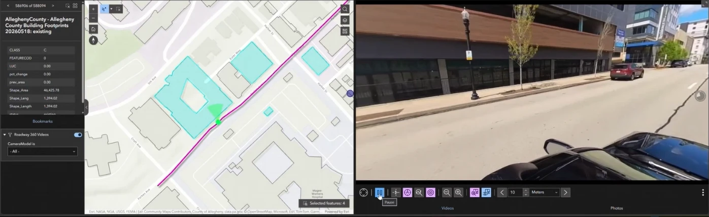
Capture in the field. Review in ArcGIS.
Bring photos and video into your ArcGIS workflows so teams can review conditions remotely and document change.
 View full size ↗
“Using Vidgeo and Site Viewer 360 has greatly improved our project workflows, from the way we view, store, and host project site photos and videos to the way we handle project deliverables utilizing ArcGIS. Nodeology turns weeks of work into days of work with better results.”
Meet the products
Vidgeo
View and navigate video based on geographic location, mapped routes, or selected features.
Explore VidgeoSite Viewer 360
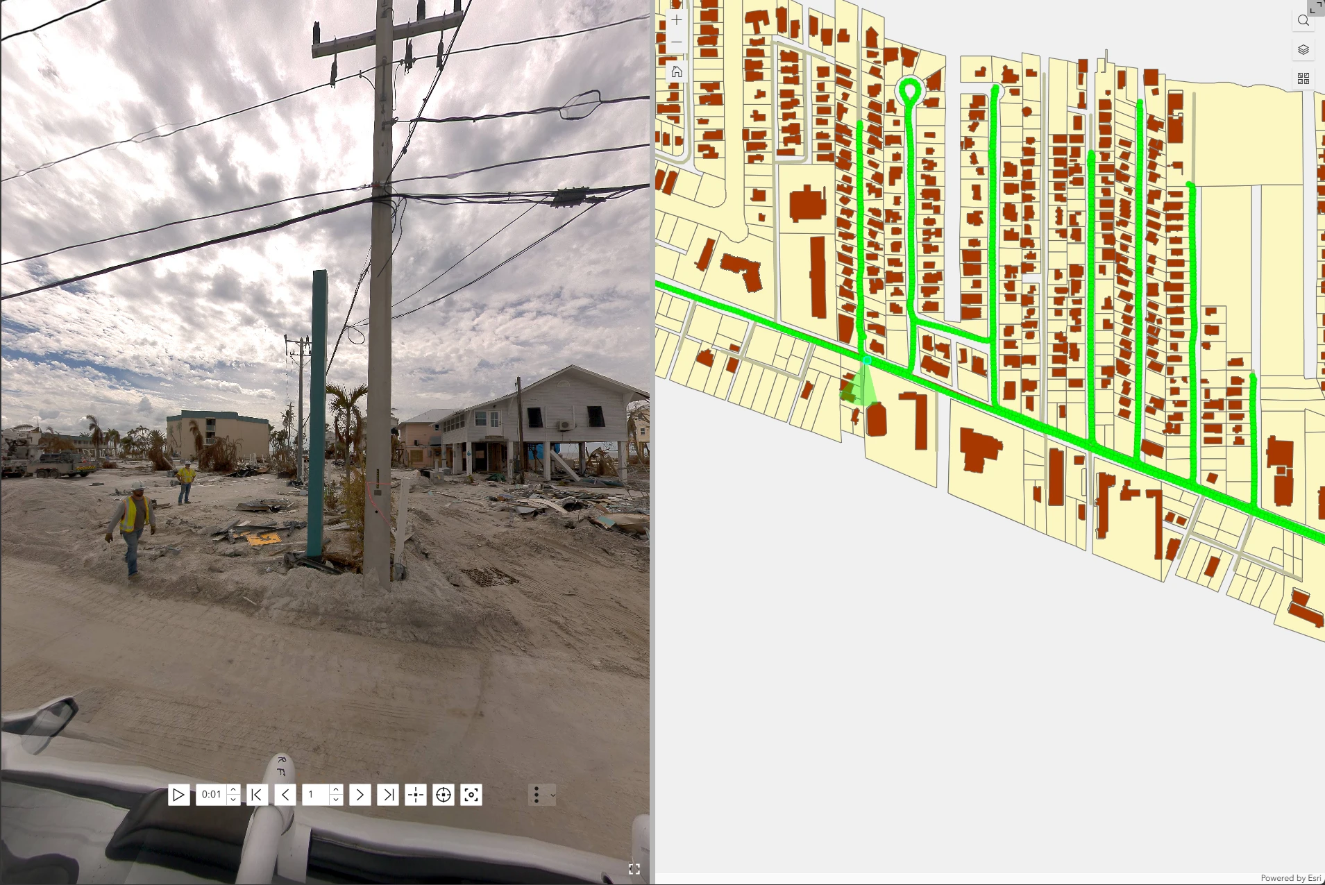
View geographically positioned 360° imagery and standard photographs directly within ArcGIS.
Explore Site Viewer 360Geotagged Media Tools
Process photos, video, GPS information, and metadata to create geographic information for use in ArcGIS.
Explore Geotagged Media ToolsField information people can use
Let engineers, project managers, and specialists review captured conditions without returning to the field.
Use the map to reach relevant photos, 360° imagery, or video instead of searching through folders and recordings.
Preserve a visual record of inspections, construction progress, and field observations.
Discuss conditions using the same imagery and geographic context.
Site Viewer 360
 View full size ↗
Choose the tools for your work
Each product addresses a different part of the workflow. Choose the tool that matches what you need to process or review.
| What you need to do | Product | Works with |
|---|---|---|
| View and navigate video by map location or selected feature | Vidgeo | ArcGIS Experience Builder |
| View mapped 360° imagery and photos | Site Viewer 360 | ArcGIS Experience Builder |
| Process photos, video, GPS, and metadata into GIS data | Geotagged Media Tools | ArcGIS Pro |
Put it to work
Photos and video support inspection, documentation, planning, and project communication in the field.
Review recorded conditions along a route and return to footage near a selected feature.
See video inspection controlsCapture milestones and give project teams a shared visual reference for discussing changes.
See mapped site photosView an asset and its surroundings together to prepare for inspections and field work.
See feature-driven reviewPreserve changing conditions and connect field observations with their locations.
See video reviewReview project sites, assets, and existing conditions with visual context alongside written reports and maps.
See remote site reviewIn the field / Oakmont storm damage
After storms in Oakmont, Nodeology recorded 360° video and spoken notes along the route and turned them into a map where each observation opens its footage.
Your files. Your workflow.
Use your existing photos, video, GPS information, and ArcGIS environment. Nodeology helps connect your photos and video to the GIS workflows your team already uses.
See how it works with your data ↗Start with your own media
Bring a sample of your existing photos, 360° imagery, or video and we’ll show you how it can fit into your workflow.
Schedule a workflow demo ↗