Seamlessly Integrate 360° and Traditional Videos into ArcGIS Online or Enterprise with Your Favorite Media Player
Designed for efficient asset visualization and feature collection/update.
A single individual, equipped with either a traditional or 360° camera, can seamlessly capture and share entire project sites. Streamlined visualization tools simplify workflows, enabling even non-GIS experts to work efficiently.
View your project site within hours of collection
It doesn’t take days or weeks of processing to get your data into ArcGIS.
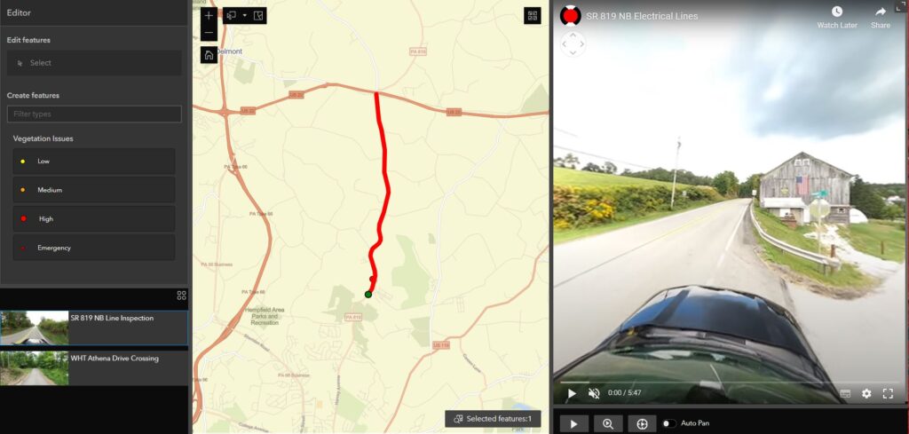
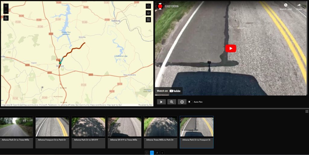
Control your location on either the ArcGIS map or YouTube progress bar.
Store locally or in the cloud
How it works
Capture 360°/2D Video
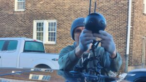
Field personnel can easily capture an entire project site using a GPS-enabled camera, i.e., GoPro, Insta360, Mosaic.
Upload Video
As quickly as you can upload your videos, you can view them in ArcGIS.
Visualize in ArcGIS
Explore job site with 360° and 2D visualizations in ArcGIS.
Fully Integrated with ArcGIS Online & Enterprise
Roadway Management
Discover how easy it is to geospatially-visualize before-and-after conditions, collaborate seamlessly with transportation agencies, and mitigate potential liabilities.
Replace traditional presentations with interactive geospatial experiences, enabling seamless communication and greatly improved understanding of project and site conditions.
Empowering Non-GIS Professionals with Highly Customizable Workflows
Simplicity and a focus on visualization make it easy to create uncomplicated workflows, enabling individuals—regardless of their GIS expertise—to work efficiently.